IMD radiosonde · decoded
Published
The first public decode of a weather balloon over India
The India Meteorological Department launches a weather balloon every morning. As far as I can find, nobody had publicly decoded one in India. This one was received and decoded on a Raspberry Pi.
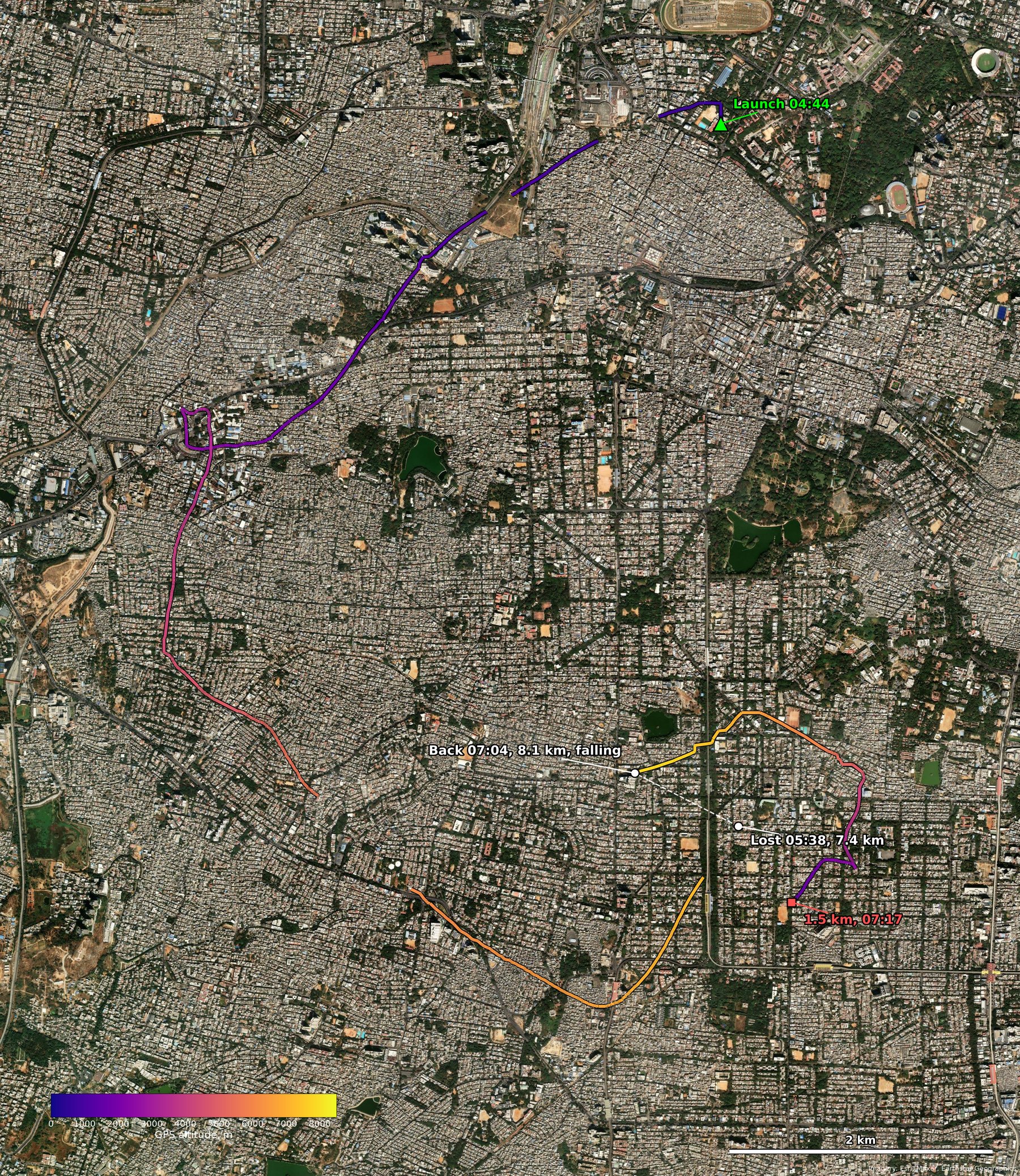
04:44 → 07:19IST, launch to last fix
2 m/sclimb rate, from the decoded GPS altitude
86 minsignal lost, with the burst somewhere inside
The flight
Done before?
Not from India, as far as I can find (decoder projects, SondeHub, YouTube, Reddit, news). The one exception is across the border: a station in Bangladesh, S21CY, uploads IMD Kolkata's sondes to SondeHub daily.
Network data: SondeHub. Imagery: Esri, Maxar, Earthstar Geographics. Hardware: a hobby SDR and a Raspberry Pi.